The rugged outdoor navigation device with touchscreen and inReach technology
Garmin's Montana 750i combines excellent functionality with special features that make your outdoor adventure even better.
Two way messaging
Exchange worldwide SMS messages with friends and family, post on social media, or communicate with other inReach devices using the inReach device (active satellite subscription required).
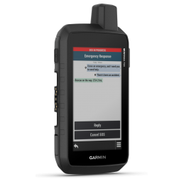
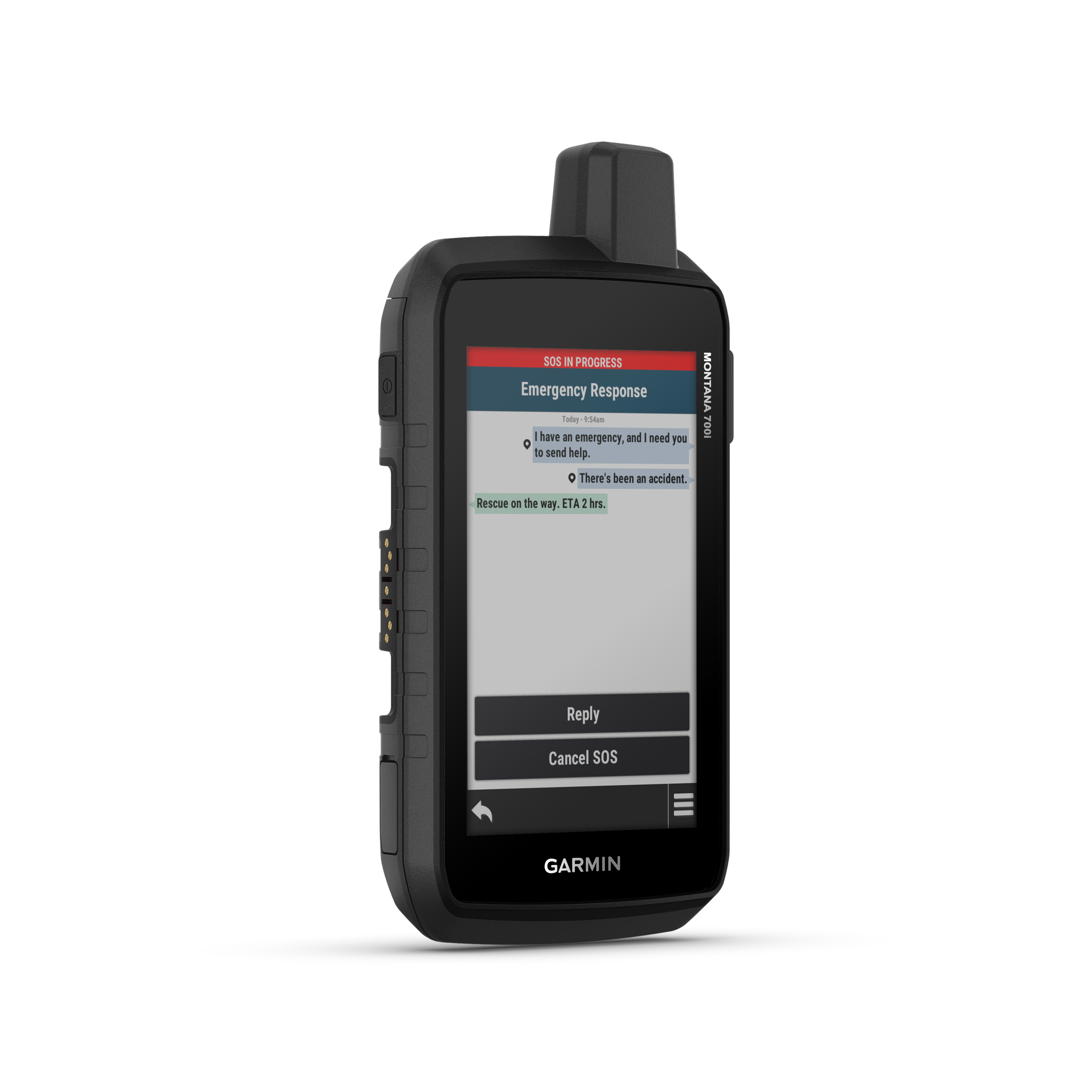
Interactive SOS
In an emergency, trigger an interactive distress call to GEOS the Garmin-powered International Emergency Response Coordination Center (IERCC) and a professional, 24/7 global monitoring and rescue center
GEOS Alliance
GEOS is among the leading providers of emergency response solutions and monitoring. The company has helped save many lives in rescue operations in over 140 countries. The center is staffed 24/7 throughout the year to respond to your SOS emergency call, locate your device and notify the appropriate contacts and emergency services in your area. Once you place an emergency call, you'll receive confirmation that help is on the way and continuous updates on the status of the rescue mission.
inReach Weather Information
The available inReach weather service delivers detailed updates directly to the Garmin Montana 700i or to paired devices, so you know what the weather situation is like on the road.
Rugged to military standards
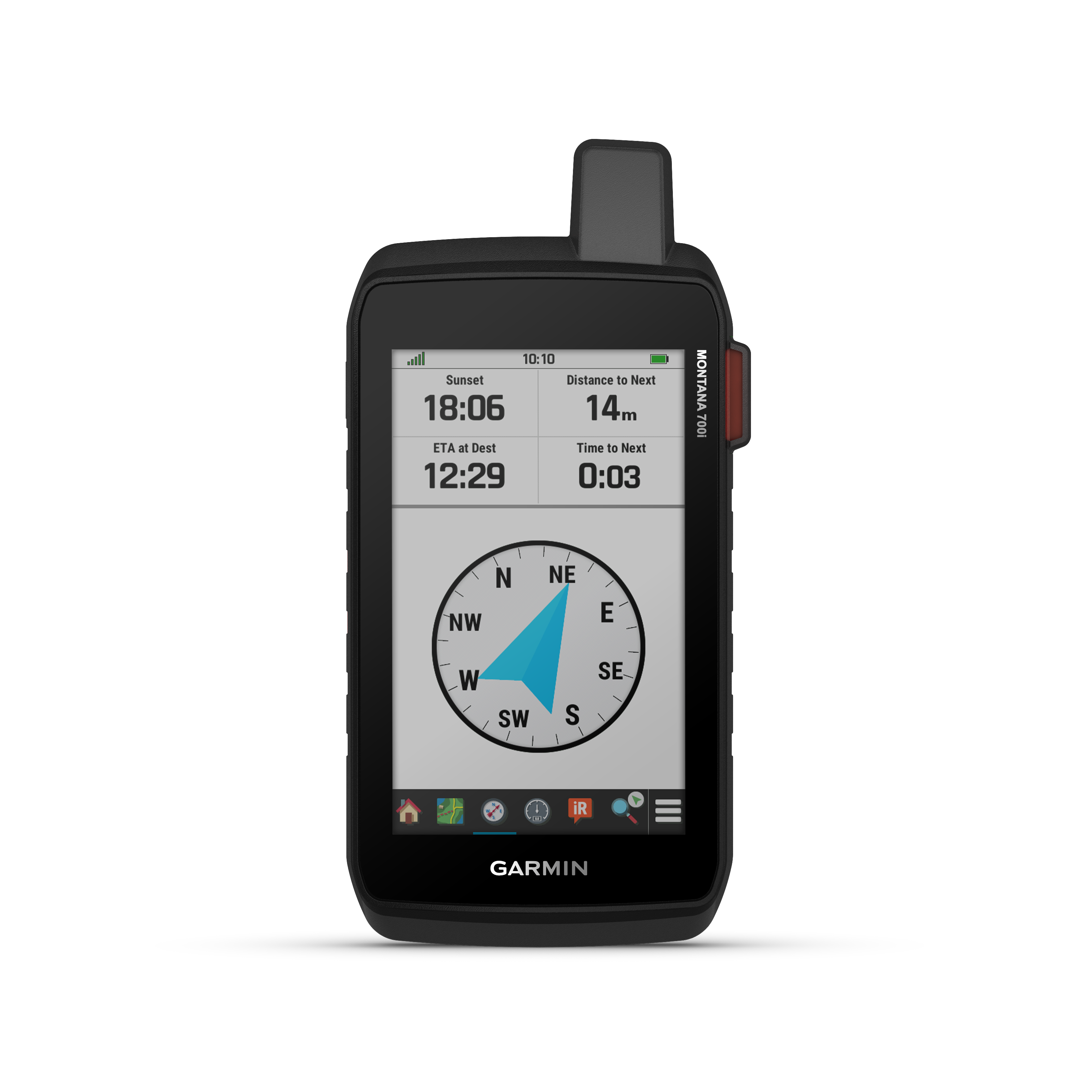
The Montana 700i can withstand almost anything. It's ruggedized to US military standards (MIL-STD 810), plus it's shock, heat and water resistant. It features a 5-inch touchscreen that is glove-friendly and 50% larger than previous Montana models.
ABC Sensors
Navigate your next trail with ABC sensors, including an altimeter for elevation data, a barometer to monitor weather and a 3-axis electronic compass.
Detailed satellite imagery
Use the BirdsEye satellite imagery app (no annual subscription required), downloadable directly to the device, to view photo-realistic anischts and create waypoints based on landmarks.
Multiple satellite systems
With access to GPS, GLONASS, and GALILEO satellite networks, Montana 700i provides better location in more challenging environments than using GPS alone.
Battery
An internal lithium-ion battery pack provides more than 18 hours of runtime in GPS mode.
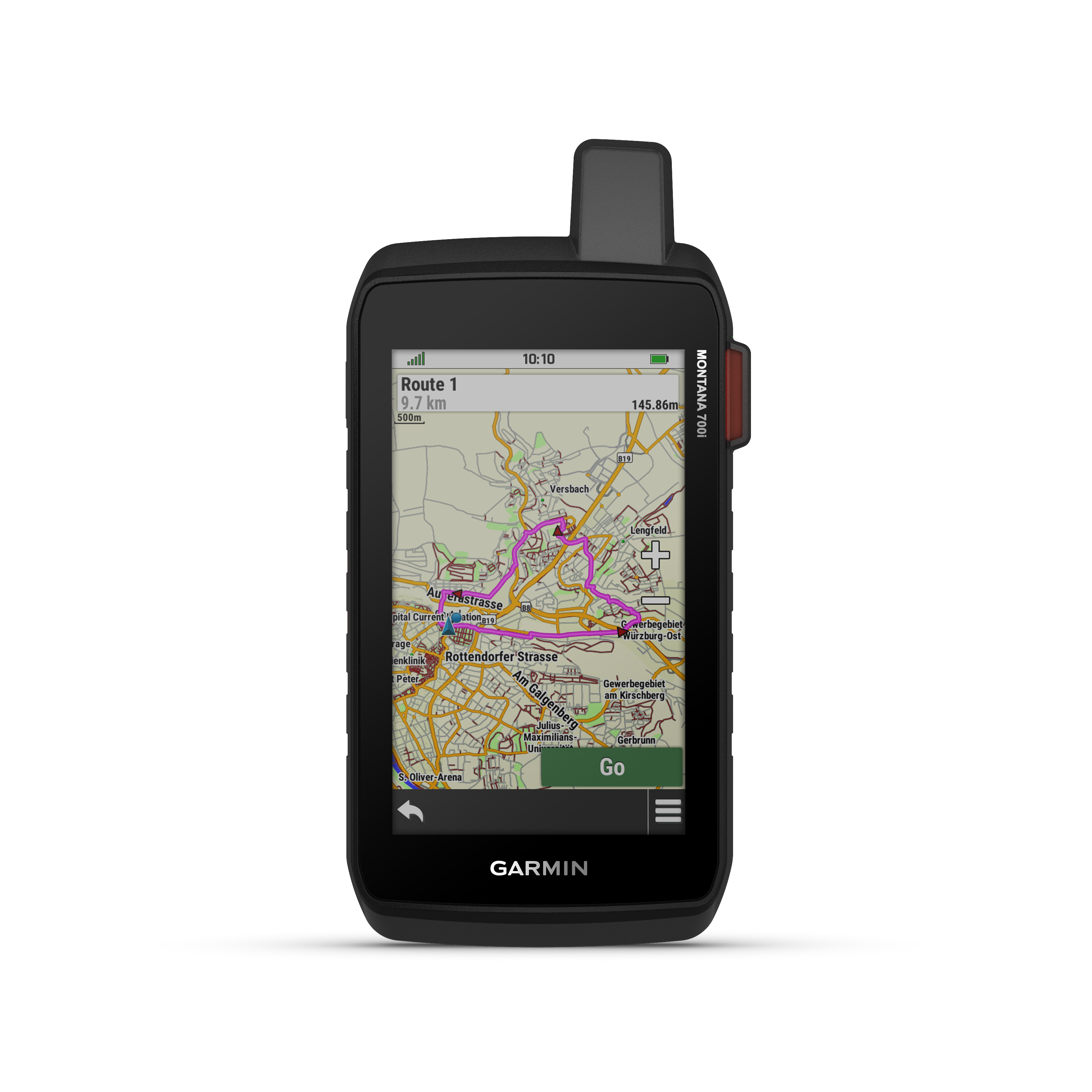
City Navigator Maps
Switch seamlessly between off-road and on-road navigation thanks to preloaded City Navigator street maps that help you on the move with easy-to-follow turn-by-turn directions.
Topoactive Europe Maps
Use the preloaded TopoActive Europe maps to navigate your adventure. View elevation data, coastlines, rivers, landmarks and more.
Perfect dog tracking
For hunters and trainers, this Montana syncs with compatible Astro® or Alpha® series handheld devices (sold separately) to track sporting dogs in the field.